A four-stage rocket injected satellite IRNSS-1G into the intended orbit about 20 minutes after the lift-off and gave India a historic first. India today completed its landmark mission to create a regional navigational system on par with US-based GPS with the launch of the satellite, which is the seventh and final one in the constellation of satellites that make up the system.
Once IRNSS-1G becomes operational in about a month’s time, the Indian Regional Navigation Satellite System (IRNSS) will offer services like terrestrial and marine navigation, disaster management, vehicle tracking and fleet management, navigation aide for hikers and travellers, visual and voice navigation for drivers.
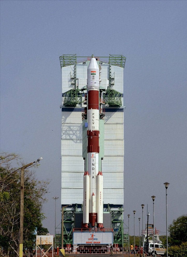
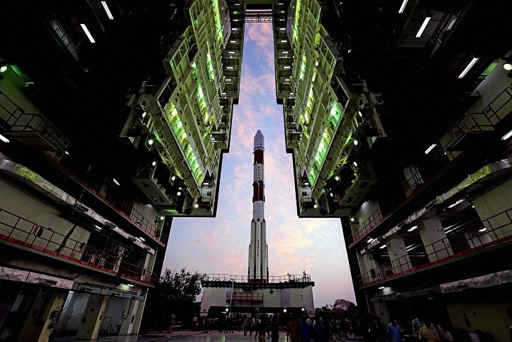
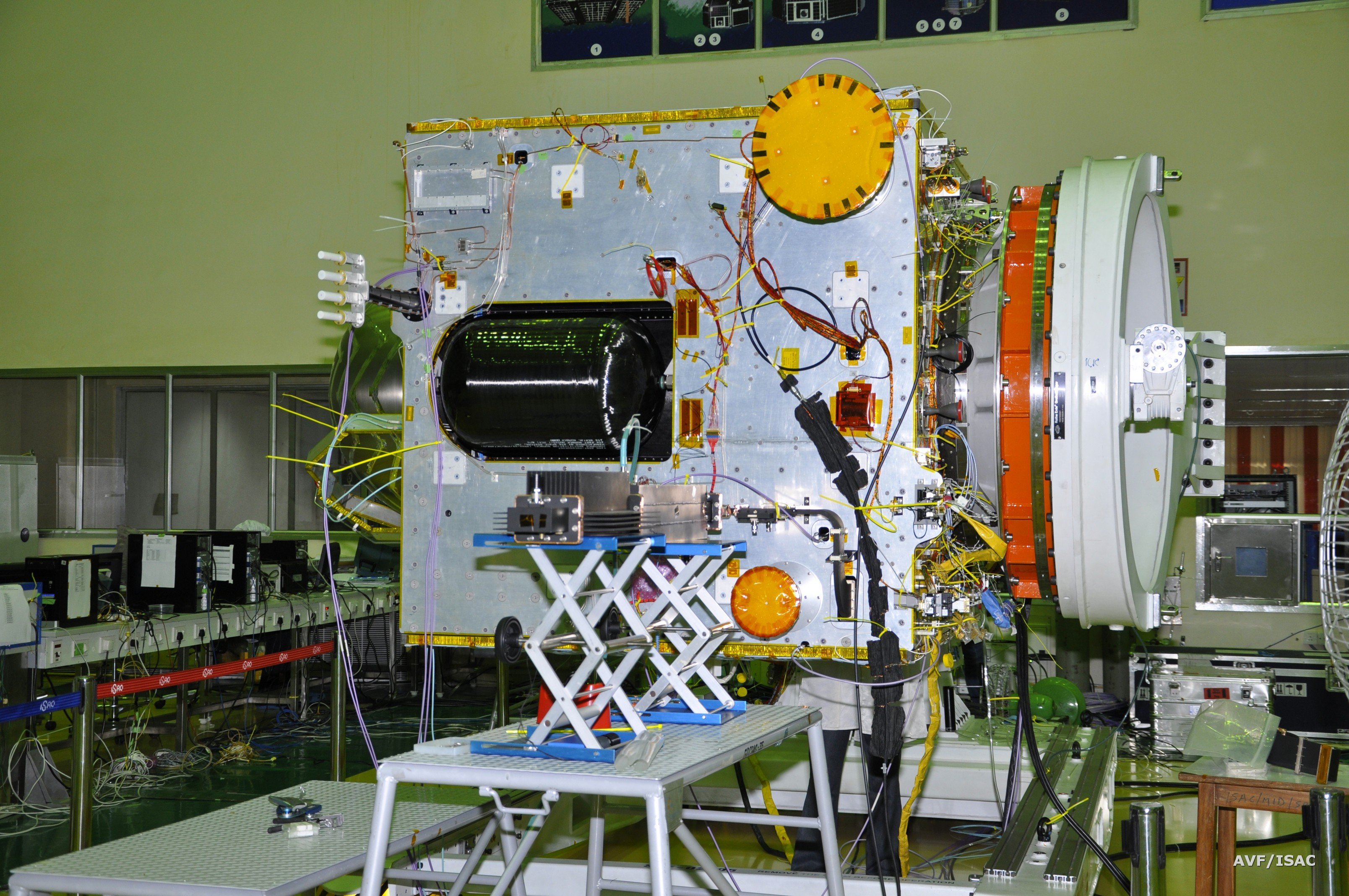
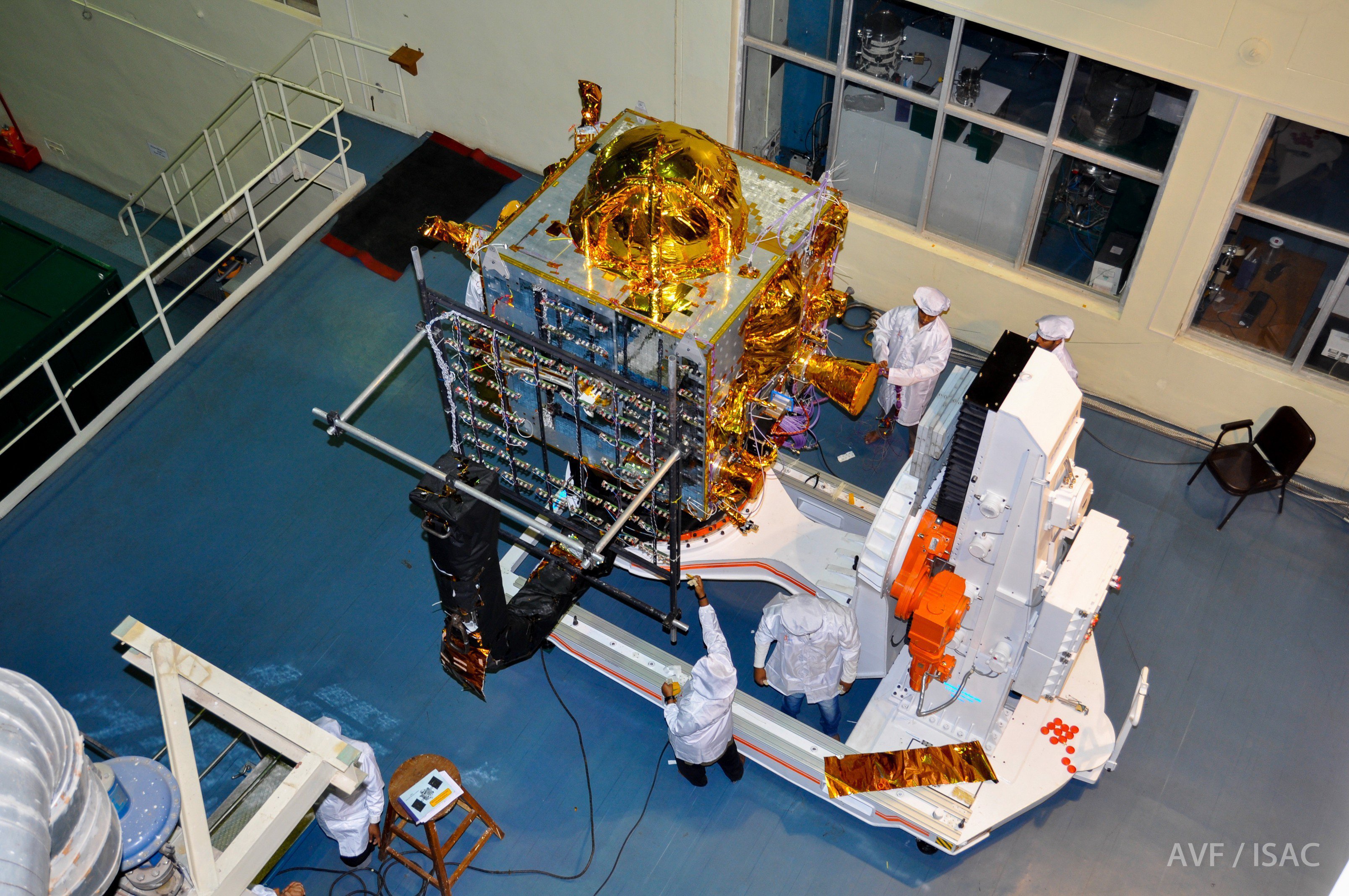
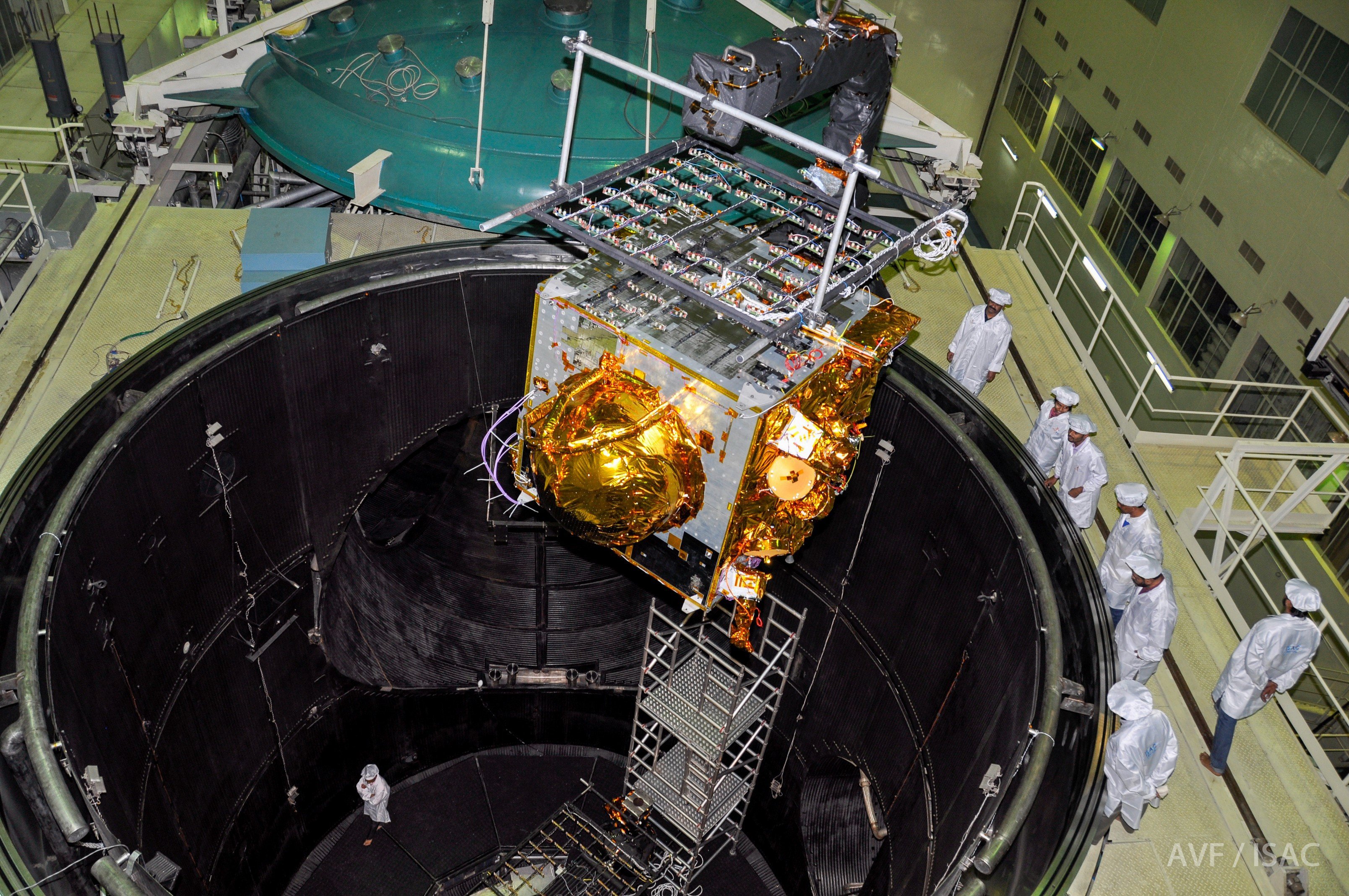
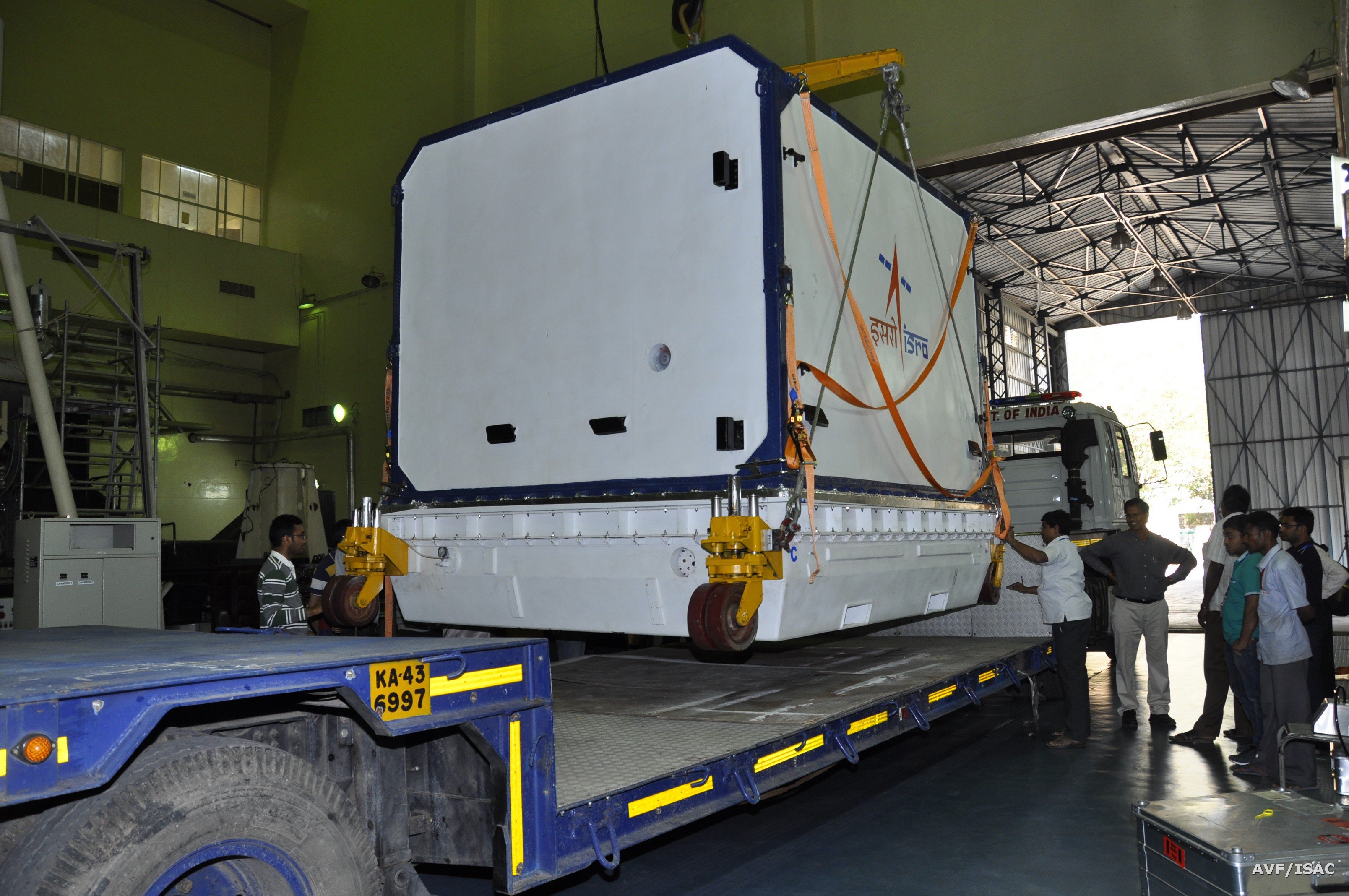
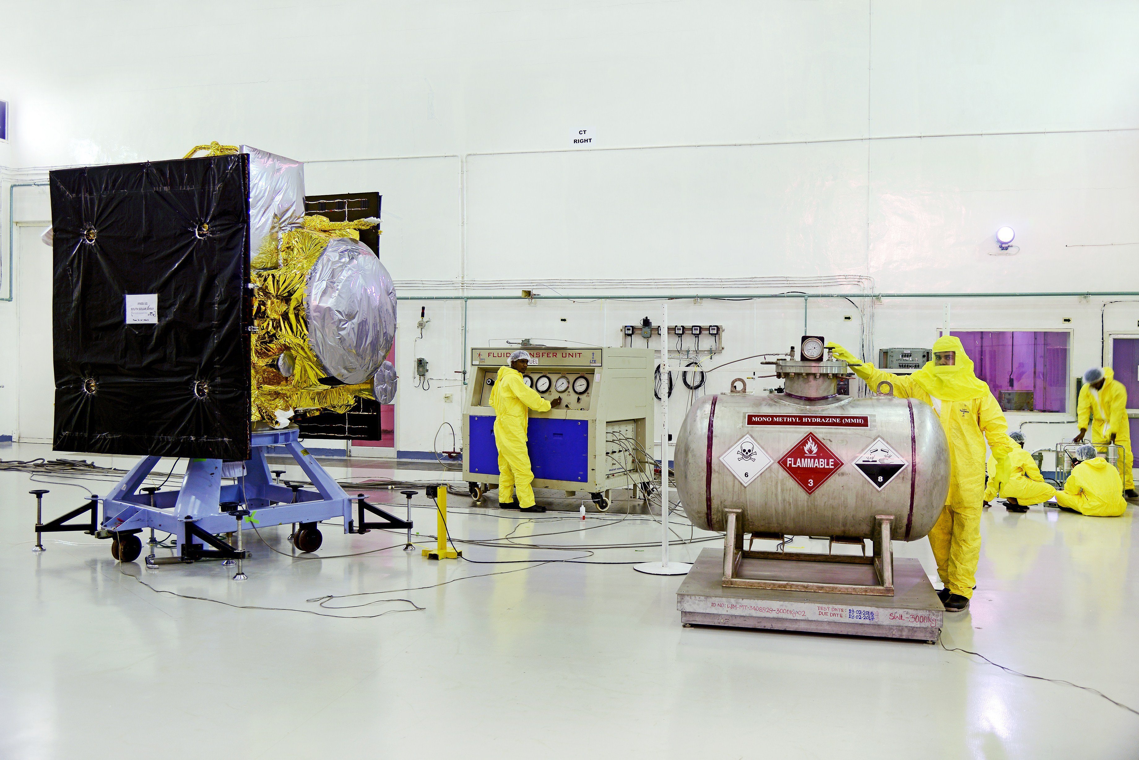
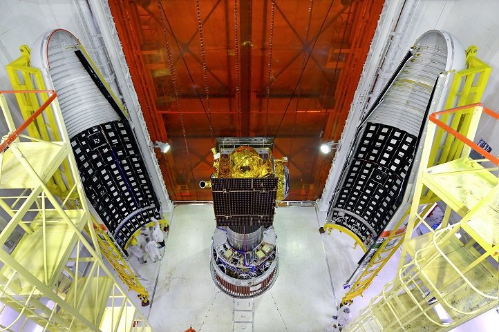
Here are some incredible pictures from the historic project:
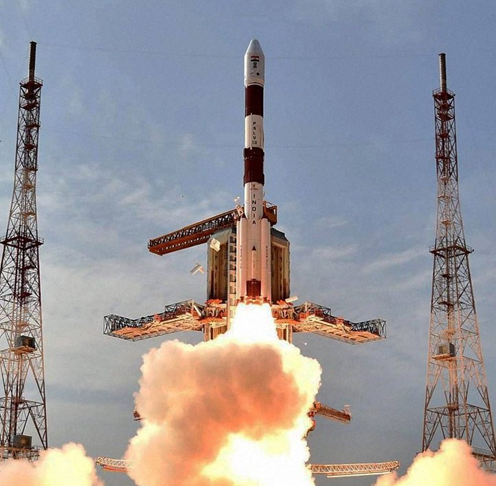
ISRO’s workhorse Polar Satellite Launch Vehicle (PSLV-C33) lifted off from the first launch pad at the Satish Dhawan Space Centre in this spaceport, about 110 kms from Chennai, at 12.50 PM and soared into clear skies.
ISRO has been working to convince mobile device manufacturers, Global Information System Technology developers and navigation device manufacturers to switch to the new system once it’s up and running.
The PSLV rocket made another textbook launch and recorded its 34th consecutive successful mission.
With this navigational system transport can be planned more efficiently since real time, accurate data will be available for anything in India and upto 1500 km from its borders.
While IRNSS was already operational with four satellites, the remaining three were required to make it “more accurate and efficient”, Indian Space Research Organisation (ISRO) said.
The IRNSS comprising the seven satellites will offer services with much ‘better accuracy’ and targeted position in navigation on par with the Global Positioning System of the United States.
The IRNSS is expected to provide location accuracy to almost 20 metres. US-owned GPS has accuracy is also estimated to be around the same in India.
(With PTI inputs)