It’s the system the Indian Space Research Organisation says will finally provide GPS connectivity to the most rural parts of India and come 2016, it could be fully operational and accurately guiding you to within 20 metres of your destination.
The Indian Regional Navigation Satellite System (IRNSS) will given India its own Global Positioning System, something for which it is still dependent on the US-owned GPS system.
How does it work?
To completely cover the the country, Isro will be using seven satellites of which four are already in orbit.
So satellites IRNSS-1A, 1B, 1C, and 1D are already in orbit and the three remaining satellite IRNSS 1E, 1F and 1G – will be launched in January, February and March respectively.
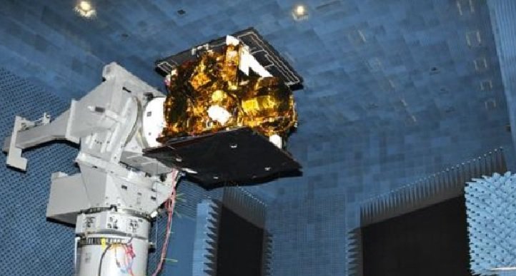
The IRNSS 1C satellite during testing. Source: ISRO
Isro is hoping to have the IRNSS system operational by July next year and has been working to convince mobile device manufacturers, Global Information System Technology developers and navigation device manufacturers to switch to the new system once it’s up and running.
Isro is asking device manufacturers to include additional hardware in devices to receive the signals from the IRNSS satellites, which one official had told the Times of India , would “reduce the errors caused by atmospheric disturbances significantly.”
How can you use IRNSS?
The IRNSS is expected to provide location accuracy to almost 20 metres. US-owned GPS has accuracy is also estimated to be around the same in India.
Data from the IRNSS can be used in services like car navigation, aircraft and shipping routes, smartphones and other devices, the scientific advisor to the Defence Minister has been quoted as saying in a report .
This will mean transport can be planned more efficiently since real time, accurate data will be available for anything in India and upto 1500 km from its borders.
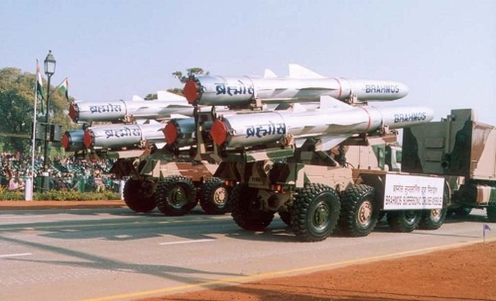
Representational image. Source: DRDO
But the biggest advantage is for Indian defence forces since they would finally have their own satellite data with which they can carry out operations.
G Satheesh Reddy, the scientific advisor to the Defence Minister, had said that so far the data received from the satellites had also been very useful for defence purposes.
While US and Russia have their own satellite navigational systems that are important for defence purposes as well, defence experts had noted that the satellite network that will cover India and 1500 km from its boundary will play an important role in India’s defence of its boundaries.